
Topografische kaart Chartres Cathedral
Interactieve kaart
Klik op de kaart om de hoogte weer te geven.
Chartres Cathedral
The elevation of the nave, showing the gallery on the ground level; the narrow triforium; and, on top, the windows of the clerestory
Over deze kaart
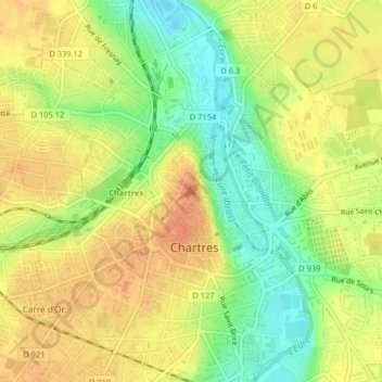
Naam: Topografische kaart Chartres Cathedral, hoogte, reliëf.
Gemiddelde hoogte: 148 m
Minimale hoogte: 123 m
Maximale hoogte: 165 m