
Topografische kaart Sitamarhi
Interactieve kaart
Klik op de kaart om de hoogte weer te geven.
Over deze kaart
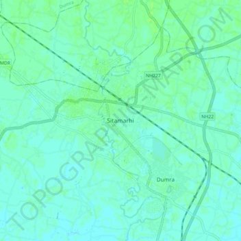
Naam: Topografische kaart Sitamarhi, hoogte, reliëf.
Locatie: Sitamarhi, Dumra, Sitamarhi District, Bihar, 843300, India (26.54765 85.46567 26.62765 85.54567)
Gemiddelde hoogte: 64 m
Minimale hoogte: 61 m
Maximale hoogte: 68 m
Sitamarhi, located at 26°36′N 85°29′E / 26.6°N 85.48°E / 26.6; 85.48, has an average elevation of 56 metres (184 ft).