
Topografische kaart Malakal
Interactieve kaart
Klik op de kaart om de hoogte weer te geven.
Over deze kaart
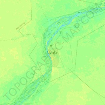
Naam: Topografische kaart Malakal, hoogte, reliëf.
Locatie: Malakal, Makal Shilluk Island, Malakal, Upper Nile, South Sudan (9.37885 31.49842 9.69885 31.81842)
Gemiddelde hoogte: 393 m
Minimale hoogte: 386 m
Maximale hoogte: 400 m