
Topografische kaart Leura
Interactieve kaart
Klik op de kaart om de hoogte weer te geven.
Over deze kaart
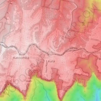
Naam: Topografische kaart Leura, hoogte, reliëf.
Gemiddelde hoogte: 878 m
Minimale hoogte: 314 m
Maximale hoogte: 1.053 m
Leura's elevation of 985 metres (3,232 ft) AHD leads to occasional snowfall in winter and a climate that reflects all four seasons distinctly.