
Topografische kaart Two Creeks Buried Forest State Natural Area
Interactieve kaart
Klik op de kaart om de hoogte weer te geven.
Over deze kaart
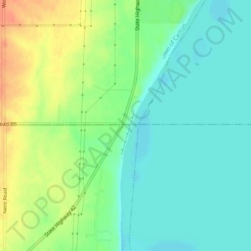
Naam: Topografische kaart Two Creeks Buried Forest State Natural Area, hoogte, reliëf.
Gemiddelde hoogte: 187 m
Minimale hoogte: 170 m
Maximale hoogte: 214 m