
Topografische kaart San Francisco Bay Area
Interactieve kaart
Klik op de kaart om de hoogte weer te geven.
San Francisco Bay Area
The borders of the San Francisco Bay Area are not officially delineated, and the unique development patterns influenced by the region's topography, as well as unusual commute patterns caused by the presence of three central cities and employment centers located in various suburban locales, has led to considerable disagreement between local and federal definitions of the area. Because of this, professor of geography at the University of California, Berkeley Richard Walker claimed that "no other U.S. city-region is as definitionally challenged [as the Bay Area]."
Over deze kaart
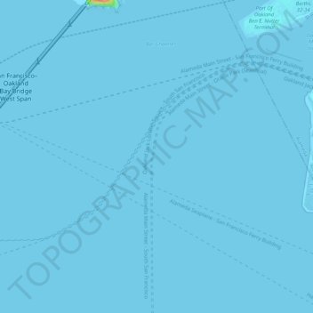
Naam: Topografische kaart San Francisco Bay Area, hoogte, reliëf.
Gemiddelde hoogte: 113 m
Minimale hoogte: -7 m
Maximale hoogte: 1.296 m
Andere topografische kaarten
Klik op een kaart om zijn topografie, zijn hoogte en zijn reliëf te bekijken.
San Francisco Maritime National Historical Park
United States > California > San Francisco
Gemiddelde hoogte: 11 m