
Topografische kaart Manila Bay
Interactieve kaart
Klik op de kaart om de hoogte weer te geven.
Over deze kaart
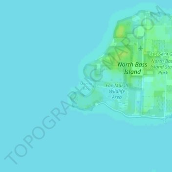
Naam: Topografische kaart Manila Bay, hoogte, reliëf.
Gemiddelde hoogte: 173 m
Minimale hoogte: 171 m
Maximale hoogte: 182 m
Andere topografische kaarten
Klik op een kaart om zijn topografie, zijn hoogte en zijn reliëf te bekijken.
Elliston
United States > Ohio > Ottawa County
Elliston, Benton Township, Ottawa County, Ohio, 43432, United States
Gemiddelde hoogte: 183 m
Marblehead
United States > Ohio > Ottawa County > Marblehead
Marblehead, Danbury Township, Ottawa County, Ohio, United States
Gemiddelde hoogte: 178 m
Graytown
United States > Ohio > Ottawa County > Graytown
Graytown, Benton Township, Ottawa County, Ohio, 43432, United States
Gemiddelde hoogte: 182 m