
Topografische kaart Fort Branch
Interactieve kaart
Klik op de kaart om de hoogte weer te geven.
Over deze kaart
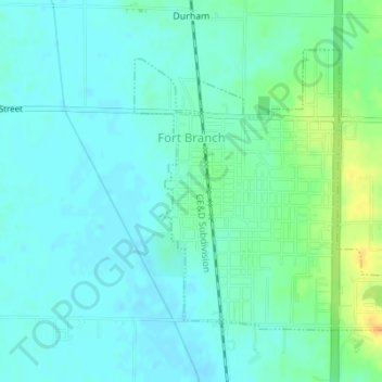
Naam: Topografische kaart Fort Branch, hoogte, reliëf.
Locatie: Fort Branch, Gibson County, Indiana, 47648, USA (38.23744 -87.58628 38.25736 -87.55921)
Gemiddelde hoogte: 136 m
Minimale hoogte: 127 m
Maximale hoogte: 160 m