
Topografische kaart تمر قره قوزی
Interactieve kaart
Klik op de kaart om de hoogte weer te geven.
Over deze kaart
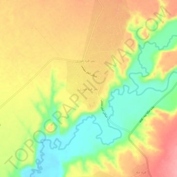
Naam: Topografische kaart تمر قره قوزی, hoogte, reliëf.
Locatie: تمر قره قوزی, بخش مرکزی, شهرستان کلاله, Golestan, Iran (37.47350 55.47863 37.51350 55.51863)
Gemiddelde hoogte: 158 m
Minimale hoogte: 100 m
Maximale hoogte: 209 m