
Topografische kaart Santa Maria
Interactieve kaart
Klik op de kaart om de hoogte weer te geven.
Over deze kaart
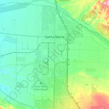
Naam: Topografische kaart Santa Maria, hoogte, reliëf.
Locatie: Santa Maria, Santa Barbara County, California, USA (34.87553 -120.50841 34.98924 -120.35434)
Gemiddelde hoogte: 86 m
Minimale hoogte: 30 m
Maximale hoogte: 272 m