
Topografische kaart Seabrook
Interactieve kaart
Klik op de kaart om de hoogte weer te geven.
Seabrook
Seabrook takes its name from Thomas Seabrook, who was a topographical engineer with the Pennsylvania Railroad. He originally built three cottages and a park with fenced-in tame deer in the area near the rail station[5] in the early 1870s.
Over deze kaart
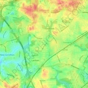
Naam: Topografische kaart Seabrook, hoogte, reliëf.
Gemiddelde hoogte: 49 m
Minimale hoogte: 22 m
Maximale hoogte: 75 m