
Topografische kaart Plaine d'Europe orientale
Interactieve kaart
Klik op de kaart om de hoogte weer te geven.
Over deze kaart
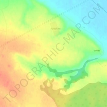
Naam: Topografische kaart Plaine d'Europe orientale, hoogte, reliëf.
Gemiddelde hoogte: 115 m
Minimale hoogte: 88 m
Maximale hoogte: 136 m