
Topografische kaart McCulloch County
Interactieve kaart
Klik op de kaart om de hoogte weer te geven.
Over deze kaart
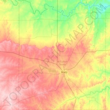
Naam: Topografische kaart McCulloch County, hoogte, reliëf.
Locatie: McCulloch County, Texas, Estados Unidos de América (30.94065 -99.60424 31.49431 -99.09047)
Gemiddelde hoogte: 518 m
Minimale hoogte: 387 m
Maximale hoogte: 669 m