
Topografische kaart Santa Teresita
Interactieve kaart
Klik op de kaart om de hoogte weer te geven.
Over deze kaart
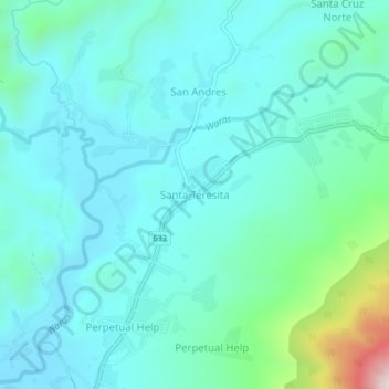
Naam: Topografische kaart Santa Teresita, hoogte, reliëf.
Locatie: Santa Teresita, Camarines Sur, Bicol Region, Philippines (13.46053 123.40068 13.50053 123.44068)
Gemiddelde hoogte: 136 m
Minimale hoogte: 32 m
Maximale hoogte: 651 m