

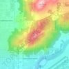
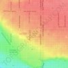
Topografische kaart Town and Country
Klik op de kaart om de hoogte weer te geven.
Town and Country
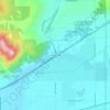
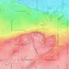
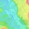
The city of Spokane surrounds the CDP on three sides: the east, south and west. The city's street grid continues into Town and Country uninterrupted in the east, though it breaks down in the west along the bluff leading up to Five Mile Prairie. The bulk of the CDP lies on flat ground like the surrounding north side of Spokane. Along the west, however, the terrain rises rapidly from Town and Country's elevation of roughly 2,000 feet to over 2,300 at the crest over less than 1,000 feet of distance in places.
Over deze kaart

Naam: Topografische kaart Town and Country, hoogte, reliëf.
Gemiddelde hoogte: 639 m
Minimale hoogte: 590 m
Maximale hoogte: 733 m
Andere topografische kaarten
Klik op een kaart om zijn topografie, zijn hoogte en zijn reliëf te bekijken.

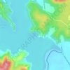
Mica Peak
United States > Washington > Spokane County
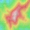
Mica Peak is the name of two separate mountain summits in the United States located approximately 5.49 miles (9 km) apart; one in Spokane County, Washington and the other in Kootenai County, Idaho. The two peaks are located along the same ridge, which separates the Spokane Valley and Rathdrum Prairie from the…
Gemiddelde hoogte: 1.311 m



Mica Peak
United States > Washington > Spokane County
Mica Peak is the name of two separate mountain summits in the United States located approximately 5.49 miles (9 km) apart; one in Spokane County, Washington and the other in Kootenai County, Idaho. The two peaks are located along the same ridge, which separates the Spokane Valley and Rathdrum Prairie from the…
Gemiddelde hoogte: 1.311 m
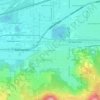
East Spokane
United States > Washington > Spokane County > Spokane Valley > East Spokane
Gemiddelde hoogte: 625 m