
Topografische kaart Scott City
Interactieve kaart
Klik op de kaart om de hoogte weer te geven.
Scott City
According to the United States Census Bureau, the city has a total area of 2.63 square miles (6.81 km2), all land. It is located in the Great Plains and at the elevation of 2979 ft.
Over deze kaart
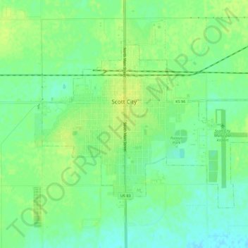
Naam: Topografische kaart Scott City, hoogte, reliëf.
Locatie: Scott City, Scott County, Kansas, 67871, United States (38.46398 -100.92538 38.49309 -100.87013)
Gemiddelde hoogte: 903 m
Minimale hoogte: 894 m
Maximale hoogte: 910 m