
Topografische kaart Brantu pagasts
Interactieve kaart
Klik op de kaart om de hoogte weer te geven.
Over deze kaart
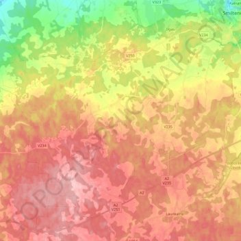
Naam: Topografische kaart Brantu pagasts, hoogte, reliëf.
Locatie: Brantu pagasts, Smiltenes novads, Lijfland, LV-4708, Letland (57.32183 25.68364 57.41881 25.90711)
Gemiddelde hoogte: 169 m
Minimale hoogte: 84 m
Maximale hoogte: 227 m