
Topografische kaart Awdal
Interactieve kaart
Klik op de kaart om de hoogte weer te geven.
Awdal
Awdal region is three distinct topographical zones: the coastal, mountainous and plateau (Ogo) zones. Starting from the north along the sea is the coastal zone. The coastal zone comprises sandy plains that stretches from Sahil region in the east to Djibouti in north- west and extends up to 70-90 kilometers from the sea and is about 600 meters above the sea level. Next to the coastal zone is the mountainous zone. Geologically, much of the Awdal region is located in the Arabian Plate.
Over deze kaart
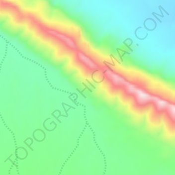
Naam: Topografische kaart Awdal, hoogte, reliëf.
Locatie: Awdal, Lughaya District, Awdal, Somaliland, Somalia (9.50000 42.50000 11.50000 44.50000)
Gemiddelde hoogte: 651 m
Minimale hoogte: 0 m
Maximale hoogte: 2.632 m