
Topografische kaart Chhatia
Interactieve kaart
Klik op de kaart om de hoogte weer te geven.
Over deze kaart
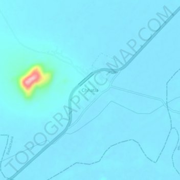
Naam: Topografische kaart Chhatia, hoogte, reliëf.
Locatie: Chhatia, Badachana, Jajpur District, Odisha, 754023, India (20.58997 86.04260 20.62997 86.08260)
Gemiddelde hoogte: 21 m
Minimale hoogte: 12 m
Maximale hoogte: 180 m