
Topografische kaart Santa Maria
Interactieve kaart
Klik op de kaart om de hoogte weer te geven.
Over deze kaart
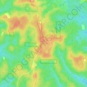
Naam: Topografische kaart Santa Maria, hoogte, reliëf.
Locatie: Santa Maria, Santa Rosa County, Florida, USA (30.92963 -86.85524 30.96963 -86.81524)
Gemiddelde hoogte: 67 m
Minimale hoogte: 45 m
Maximale hoogte: 89 m