
Topografische kaart El Castro
Interactieve kaart
Klik op de kaart om de hoogte weer te geven.
Over deze kaart
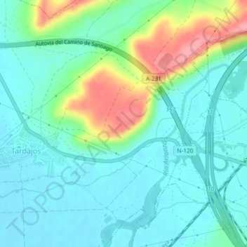
Naam: Topografische kaart El Castro, hoogte, reliëf.
Locatie: El Castro, Tardajos, Burgos, Castilla y León, 09130, España (42.34174 -3.81417 42.36174 -3.79417)
Gemiddelde hoogte: 846 m
Minimale hoogte: 819 m
Maximale hoogte: 921 m