
Topografische kaart Allegheny Portage Railroad National Historic Site
Interactieve kaart
Klik op de kaart om de hoogte weer te geven.
Allegheny Portage Railroad National Historic Site
A skew arch bridge, a masterwork of cut stone construction, is another feature of the site near the Lemon House. The bridge is 60.4 feet (18.4 m) long on the south elevation, 54.9 feet (16.7 m) long on the north elevation, and 22.2 feet (6.8 m) high. It was the only bridge on the line that was built to carry a road.
Over deze kaart
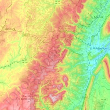
Naam: Topografische kaart Allegheny Portage Railroad National Historic Site, hoogte, reliëf.
Gemiddelde hoogte: 570 m
Minimale hoogte: 280 m
Maximale hoogte: 957 m