
Topografische kaart Umatilla County
Interactieve kaart
Klik op de kaart om de hoogte weer te geven.
Over deze kaart
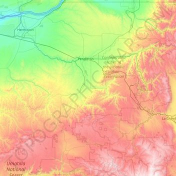
Naam: Topografische kaart Umatilla County, hoogte, reliëf.
Locatie: Umatilla County, Oregón, Estados Unidos de América (44.99589 -119.43549 46.00107 -117.97292)
Gemiddelde hoogte: 907 m
Minimale hoogte: 80 m
Maximale hoogte: 2.200 m