
Topografische kaart Mariana Islands
Interactieve kaart
Klik op de kaart om de hoogte weer te geven.
Over deze kaart
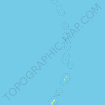
Naam: Topografische kaart Mariana Islands, hoogte, reliëf.
Gemiddelde hoogte: 0 m
Minimale hoogte: 0 m
Maximale hoogte: 874 m
The island chain geographically consists of two subgroups, a northern group of ten volcanic main islands, all are currently uninhabited; and a southern group of five coralline limestone islands (Rota, Guam, Aguijan, Tinian and Saipan), all inhabited except Aguijan. In the northern volcanic group a maximum elevation of about 2,700 feet (820 m) is reached; there are craters showing signs of activity, and earthquakes are not uncommon. Coral reefs fringe the coasts of the southern isles, which are of slight elevation.
Andere topografische kaarten
Klik op een kaart om zijn topografie, zijn hoogte en zijn reliëf te bekijken.
Guam
United States > Guam > Chalan Pago-Ordot Municipality
Guam, Chalan Pago-Ordot Municipality, Guam, United States
Gemiddelde hoogte: 26 m