
Topografische kaart Sawtooth National Forest
Interactieve kaart
Klik op de kaart om de hoogte weer te geven.
Sawtooth National Forest
About 47 percent of the forest's land is forested, and an additional 3 percent can support trees, but does not currently have any. Lower elevations in Sawtooth National Forest often have sagebrush and grassland vegetation types, while forested areas contain a variety of tree species. Lodgepole pine forms nearly monotypic forests in part of the SNRA with sparse vegetation under the tree cover. Plants that can be found under lodgepole pines include grasses, scattered forbs, dwarf huckleberry, and grouse whortleberry. Douglas-fir and quaking aspen are found in similar environments throughout the forest with understories of low shrubs, such as common snowberry and white spirea.:A-21 Aspen is also found throughout the forest at elevations ranging from 5,000 ft (1,500 m) to 11,000 ft (3,400 m).:A-22
Over deze kaart
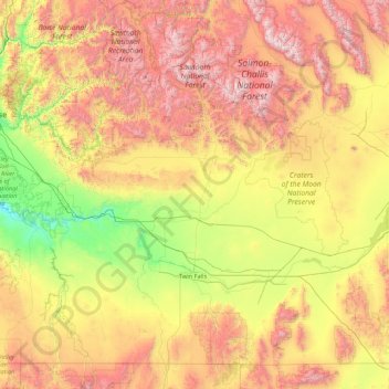
Naam: Topografische kaart Sawtooth National Forest, hoogte, reliëf.
Gemiddelde hoogte: 1.608 m
Minimale hoogte: 706 m
Maximale hoogte: 3.594 m