Topografische kaart Martha
Interactieve kaart
Klik op de kaart om de hoogte weer te geven.
Over deze kaart
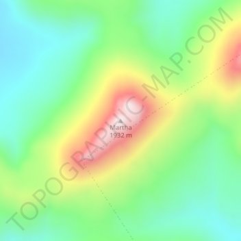
Naam: Topografische kaart Martha, hoogte, reliëf.
Gemiddelde hoogte: 1.580 m
Minimale hoogte: 1.382 m
Maximale hoogte: 1.935 m

Klik op de kaart om de hoogte weer te geven.
Naam: Topografische kaart Martha, hoogte, reliëf.
Gemiddelde hoogte: 1.580 m
Minimale hoogte: 1.382 m
Maximale hoogte: 1.935 m