
Topografische kaart Mont Férion
Interactieve kaart
Klik op de kaart om de hoogte weer te geven.
Over deze kaart
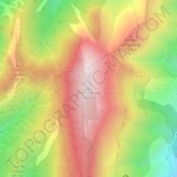
Naam: Topografische kaart Mont Férion, hoogte, reliëf.
Gemiddelde hoogte: 979 m
Minimale hoogte: 468 m
Maximale hoogte: 1.398 m
pour venir se terminer au col de Châteauneuf, à 626 m d'altitude.