
Topografische kaart Pajaro
Interactieve kaart
Klik op de kaart om de hoogte weer te geven.
Over deze kaart
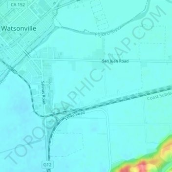
Naam: Topografische kaart Pajaro, hoogte, reliëf.
Gemiddelde hoogte: 11 m
Minimale hoogte: 2 m
Maximale hoogte: 77 m
Pajaro (Spanish Pájaro 'bird') is an unincorporated community and census-designated place (CDP) in Monterey County, California. It is located on the south bank of the Pajaro River 5 miles (8 km) northeast of its mouth, at an elevation of 26 feet (7.9 m). The population was 2,882 at the 2020 census, down from 3,070 in 2010. The school district is in Santa Cruz County.