
Topografische kaart Upland
Interactieve kaart
Klik op de kaart om de hoogte weer te geven.
Over deze kaart
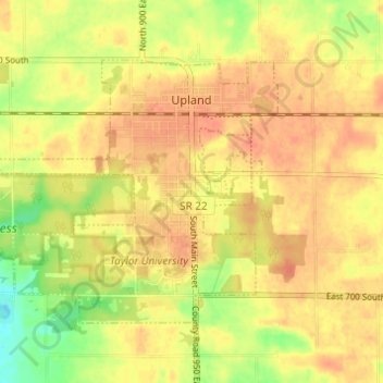
Naam: Topografische kaart Upland, hoogte, reliëf.
Locatie: Upland, Grant County, Indiana, United States (40.44847 -85.54168 40.48039 -85.48063)
Gemiddelde hoogte: 278 m
Minimale hoogte: 250 m
Maximale hoogte: 291 m