
Topografische kaart Nuku Hiva
Interactieve kaart
Klik op de kaart om de hoogte weer te geven.
Over deze kaart
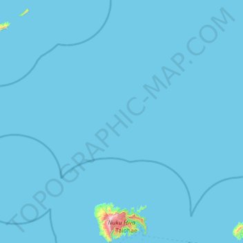
Naam: Topografische kaart Nuku Hiva, hoogte, reliëf.
Gemiddelde hoogte: 10 m
Minimale hoogte: 0 m
Maximale hoogte: 1.199 m
On the western edge of To'ovi'i rises Tekao, the island's highest peak, which reaches an elevation of 1224 m (4,016 ft). The western and northern edges of To'ovi'i are a mountain ridge, which catches much of the rain that waters the island.
Andere topografische kaarten
Klik op een kaart om zijn topografie, zijn hoogte en zijn reliëf te bekijken.
Motu One
France > French Polynesia > Nuku Hiva
Motu One, Nuku Hiva, Marquesas Islands, French Polynesia, 98742, France
Gemiddelde hoogte: 0 m