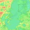
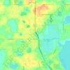
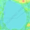
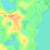
Topografische kaart Grand Island
Klik op de kaart om de hoogte weer te geven.
Over deze kaart
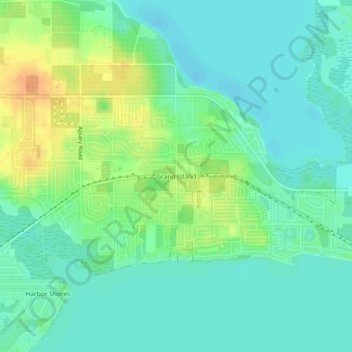
Naam: Topografische kaart Grand Island, hoogte, reliëf.
Locatie: Grand Island, Lake County, Florida, 32735, United States (28.86249 -81.74897 28.90249 -81.70897)
Gemiddelde hoogte: 25 m
Minimale hoogte: 12 m
Maximale hoogte: 51 m
Andere topografische kaarten
Klik op een kaart om zijn topografie, zijn hoogte en zijn reliëf te bekijken.

Montverde
United States > Florida > Lake County
Montverde is located in southeastern Lake County at 28°35′58″N 81°40′34″W / 28.599476°N 81.676221°W / 28.599476; -81.676221, on the southwest shore of Lake Apopka. The town sits on hills that rise 50 to 100 feet (15 to 30 m) above the elevation of the lake. It is 18 miles (29 km) south of…
Gemiddelde hoogte: 27 m




Lake Harris
United States > Florida > Lake County > Yalaha
Lake Harris' primary inflow is at its southwestern shore from the Palatlakaha River, which originates from the Clermont chain of lakes to the south. Other inflowing rivers include Helena Run and discharge from many small springs in Yalaha. Lake Harris' depth is much greater than Lake Okeechobee to the south,…
Gemiddelde hoogte: 25 m



Lisbon
United States > Florida > Lake County
Lisbon has low rolling landscape with elevations ranging from 30 ft to 60 ft.
Gemiddelde hoogte: 22 m