
Topografische kaart Villa Ciudad Parque
Interactieve kaart
Klik op de kaart om de hoogte weer te geven.
Over deze kaart
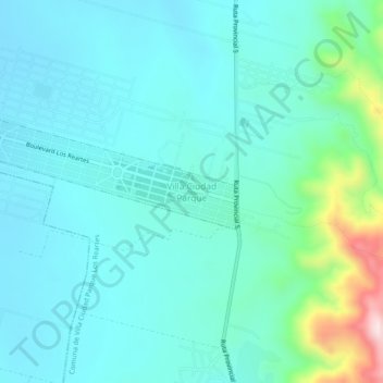
Naam: Topografische kaart Villa Ciudad Parque, hoogte, reliëf.
Gemiddelde hoogte: 873 m
Minimale hoogte: 797 m
Maximale hoogte: 1.245 m