
Topografische kaart Стрелецкое сельское поселение
Interactieve kaart
Klik op de kaart om de hoogte weer te geven.
Over deze kaart
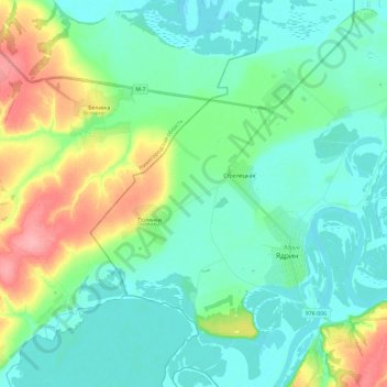
Naam: Topografische kaart Стрелецкое сельское поселение, hoogte, reliëf.
Gemiddelde hoogte: 86 m
Minimale hoogte: 62 m
Maximale hoogte: 156 m