
Topografische kaart St. Johns
Interactieve kaart
Klik op de kaart om de hoogte weer te geven.
Over deze kaart
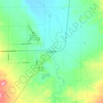
Naam: Topografische kaart St. Johns, hoogte, reliëf.
Locatie: St. Johns, Apache County, Arizona, 85936, United States (34.46587 -109.40093 34.54587 -109.32093)
Gemiddelde hoogte: 1.755 m
Minimale hoogte: 1.714 m
Maximale hoogte: 1.861 m