
Topografische kaart Los Santos
Interactieve kaart
Klik op de kaart om de hoogte weer te geven.
Over deze kaart
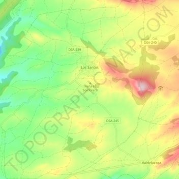
Naam: Topografische kaart Los Santos, hoogte, reliëf.
Locatie: Los Santos, Salamanca, Castile and León, 37768, Spain (40.49930 -5.85604 40.57235 -5.76700)
Gemiddelde hoogte: 936 m
Minimale hoogte: 813 m
Maximale hoogte: 1.102 m