
Topografische kaart Temple
Interactieve kaart
Klik op de kaart om de hoogte weer te geven.
Temple
Temple is a census-designated place in Muhlenberg Township, Berks County, Pennsylvania, United States at an elevation of 361 feet (110 m). The community was named for a local inn called Solomon's Temple. Temple was an independent borough until it was disincorporated on January 1, 1999. The ZIP code is 19560. As of the 2020 census the population was 2,073 residents.
Over deze kaart
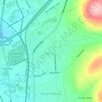
Naam: Topografische kaart Temple, hoogte, reliëf.
Gemiddelde hoogte: 126 m
Minimale hoogte: 76 m
Maximale hoogte: 274 m