
Topografische kaart Manuel Cornejo Astorga Tandapi
Interactieve kaart
Klik op de kaart om de hoogte weer te geven.
Over deze kaart
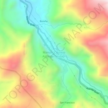
Naam: Topografische kaart Manuel Cornejo Astorga Tandapi, hoogte, reliëf.
Gemiddelde hoogte: 1.768 m
Minimale hoogte: 1.361 m
Maximale hoogte: 2.321 m