
Topografische kaart Kodeń
Interactieve kaart
Klik op de kaart om de hoogte weer te geven.
Over deze kaart
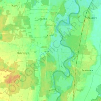
Naam: Topografische kaart Kodeń, hoogte, reliëf.
Gemiddelde hoogte: 146 m
Minimale hoogte: 135 m
Maximale hoogte: 161 m
Andere topografische kaarten
Klik op een kaart om zijn topografie, zijn hoogte en zijn reliëf te bekijken.
Dobromyśl
Poland > Lublin Voivodeship > Biała Podlaska County
Dobromyśl, gmina Kodeń, Biała Podlaska County, Lublin Voivodeship, Poland
Gemiddelde hoogte: 148 m
Kostomłoty
Poland > Lublin Voivodeship > Biała Podlaska County
Kostomłoty, gmina Kodeń, Biała Podlaska County, Lublin Voivodeship, Poland
Gemiddelde hoogte: 138 m