
Topografische kaart Booral
Interactieve kaart
Klik op de kaart om de hoogte weer te geven.
Over deze kaart
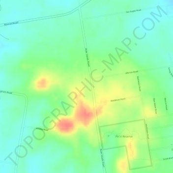
Naam: Topografische kaart Booral, hoogte, reliëf.
Locatie: Booral, Hervey Bay, Queensland, Australia (-25.36389 152.88000 -25.34389 152.90000)
Gemiddelde hoogte: 27 m
Minimale hoogte: 5 m
Maximale hoogte: 62 m
Andere topografische kaarten
Klik op een kaart om zijn topografie, zijn hoogte en zijn reliëf te bekijken.
Black Swamp Creek
Australia > Queensland > Hervey Bay
Black Swamp Creek, Walligan, Hervey Bay, Fraser Coast Regional, Queensland, Australia
Gemiddelde hoogte: 16 m
Great Sandy National Park
Australia > Queensland > Hervey Bay
Great Sandy National Park, Bundaberg Region, Queensland, Australia
Gemiddelde hoogte: 32 m