
Topografische kaart West Rutland
Interactieve kaart
Klik op de kaart om de hoogte weer te geven.
West Rutland
The town of Rutland was originally granted in 1761 as one of the New Hampshire Grants and named after Rutland, Massachusetts, the home of the first grantee, John Murrey. It was one of the most successful of those grants because of excellent farmland and gentle topography.
Over deze kaart
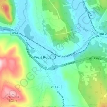
Naam: Topografische kaart West Rutland, hoogte, reliëf.
Locatie: West Rutland, Rutland County, Vermont, 05777, United States (43.57037 -73.06800 43.61950 -73.02223)
Gemiddelde hoogte: 233 m
Minimale hoogte: 141 m
Maximale hoogte: 502 m