
Topografische kaart Taki
Interactieve kaart
Klik op de kaart om de hoogte weer te geven.
Over deze kaart
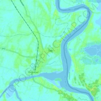
Naam: Topografische kaart Taki, hoogte, reliëf.
Gemiddelde hoogte: 4 m
Minimale hoogte: -3 m
Maximale hoogte: 14 m
Taki is located at 22°35′N 88°55′E / 22.59°N 88.92°E / 22.59; 88.92. It has an average elevation of 5 metres (16 feet) at the bank of Ichamati River.