
Topografische kaart Judith Gap
Interactieve kaart
Klik op de kaart om de hoogte weer te geven.
Judith Gap
Because of its topography and prevailing winds, Judith Gap is the site of one of the most ambitious wind power projects in the United States. The 90 wind turbines at the Judith Gap Wind Farm have a nameplate capacity of 135 MW.
Over deze kaart
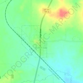
Naam: Topografische kaart Judith Gap, hoogte, reliëf.
Gemiddelde hoogte: 1.406 m
Minimale hoogte: 1.386 m
Maximale hoogte: 1.442 m