
Topografische kaart Booterstown, Blackrock and Dundrum Parish
Interactieve kaart
Klik op de kaart om de hoogte weer te geven.
Over deze kaart
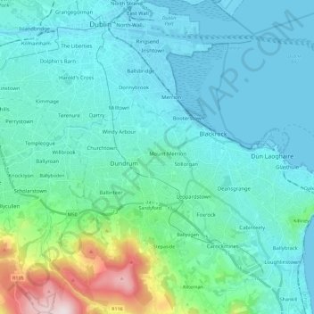
Naam: Topografische kaart Booterstown, Blackrock and Dundrum Parish, hoogte, reliëf.
Gemiddelde hoogte: 86 m
Minimale hoogte: -2 m
Maximale hoogte: 582 m