
Topografische kaart Llurimagua
Interactieve kaart
Klik op de kaart om de hoogte weer te geven.
Over deze kaart
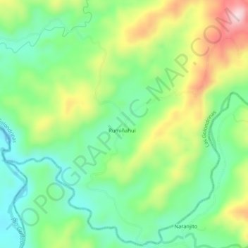
Naam: Topografische kaart Llurimagua, hoogte, reliëf.
Locatie: Llurimagua, Las Golondrinas, Cotacachi, Imbabura, Ecuador (0.25835 -79.01846 0.29835 -78.97846)
Gemiddelde hoogte: 418 m
Minimale hoogte: 303 m
Maximale hoogte: 615 m