
Topografische kaart Ciudad Encantada
Interactieve kaart
Klik op de kaart om de hoogte weer te geven.
Over deze kaart
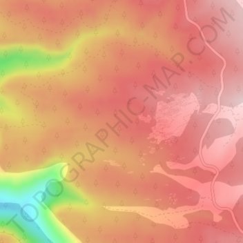
Naam: Topografische kaart Ciudad Encantada, hoogte, reliëf.
Gemiddelde hoogte: 1.356 m
Minimale hoogte: 1.151 m
Maximale hoogte: 1.437 m
Andere topografische kaarten
Klik op een kaart om zijn topografie, zijn hoogte en zijn reliëf te bekijken.
La Melgosa
España > Castilla-La Mancha > Cuenca
La Melgosa, Cuenca, Castilla-La Mancha, 16193, España
Gemiddelde hoogte: 972 m
Fuente Carrasca
España > Castilla-La Mancha > Cuenca
Fuente Carrasca, Cuenca, Castilla-La Mancha, 16001, España
Gemiddelde hoogte: 1.143 m
Ocejón
España > Castilla-La Mancha > Cuenca
Ocejón, Cuenca, Castilla-La Mancha, España
Gemiddelde hoogte: 1.648 m