

Topografische kaart Hisar
Klik op de kaart om de hoogte weer te geven.
Hisar
Hisar is located at 29°05′N 75°26′E / 29.09°N 75.43°E / 29.09; 75.43 in western Haryana. It has an average elevation of 215 m (705 ft) above sea level. The region is part of the alluvial Ghaggar-Yamuna plain and its southern and western portions mark a gradual transition to the desert. The Ghaggar and the Drishadvati rivers once flowed through the city. According to tectonic map, the district lies on Delhi-Lahore Ridge which is bounded by thrusts and no earthquake of any significance has originated in the zone in the past. Only one instance has been recorded of a famine occurring in the city in 1837–38.
Over deze kaart
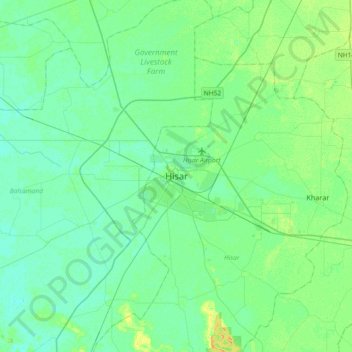
Naam: Topografische kaart Hisar, hoogte, reliëf.
Locatie: Hisar, Haryana, 125001, India (28.99627 75.56923 29.31627 75.88923)
Gemiddelde hoogte: 213 m
Minimale hoogte: 207 m
Maximale hoogte: 229 m