
Topografische kaart Branchville
Interactieve kaart
Klik op de kaart om de hoogte weer te geven.
Over deze kaart
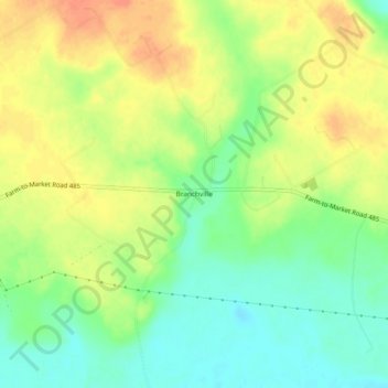
Naam: Topografische kaart Branchville, hoogte, reliëf.
Locatie: Branchville, Milam County, Texas, United States of America (30.86436 -96.78387 30.90436 -96.74387)
Gemiddelde hoogte: 103 m
Minimale hoogte: 82 m
Maximale hoogte: 124 m