
Topografische kaart Santo Rosario
Interactieve kaart
Klik op de kaart om de hoogte weer te geven.
Over deze kaart
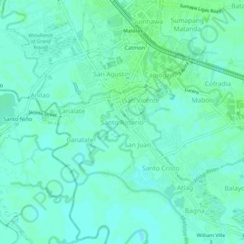
Naam: Topografische kaart Santo Rosario, hoogte, reliëf.
Locatie: Santo Rosario, Bulacan, Central Luzon, 3000, Philippines (14.81913 120.79145 14.85913 120.83145)
Gemiddelde hoogte: 4 m
Minimale hoogte: -1 m
Maximale hoogte: 7 m