
Topografische kaart La Angostura
Interactieve kaart
Klik op de kaart om de hoogte weer te geven.
Over deze kaart
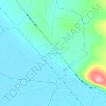
Naam: Topografische kaart La Angostura, hoogte, reliëf.
Locatie: La Angostura, Vista Hermosa, Michoacán de Ocampo, México (20.17746 -102.46285 20.21746 -102.42285)
Gemiddelde hoogte: 1.548 m
Minimale hoogte: 1.523 m
Maximale hoogte: 1.681 m