
Topografische kaart Lowell
Interactieve kaart
Klik op de kaart om de hoogte weer te geven.
Lowell
Lowell is located at the confluence of the Merrimack and Concord rivers. The Pawtucket Falls, a mile-long set of rapids with a total drop in elevation of 32 feet, ends where the two rivers meet. At the top of the falls is the Pawtucket Dam, designed to turn the upper Merrimack into a millpond, diverted through Lowell's extensive canal system.
Over deze kaart
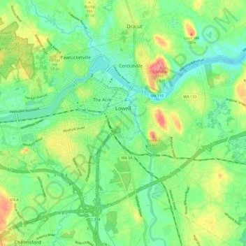
Naam: Topografische kaart Lowell, hoogte, reliëf.
Gemiddelde hoogte: 42 m
Minimale hoogte: 14 m
Maximale hoogte: 105 m